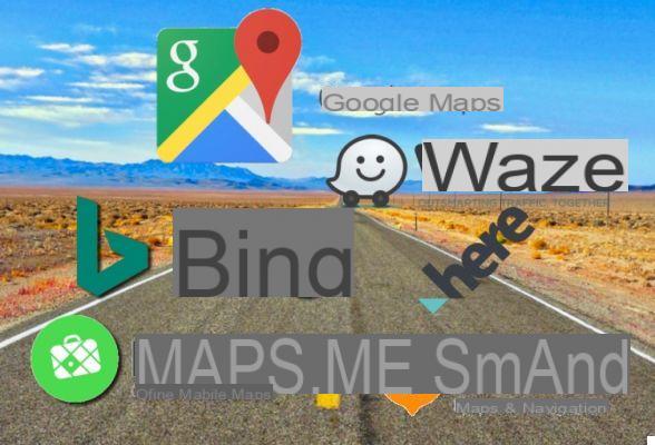
There are other very good navigators on the market


Google Maps he is an excellent navigator, there is no doubt about that. The service offered by Google, constantly updated and improved, is popular and solid enough to have certified, over time, the death of paper maps.
There are, however, reasons why it is not wanted, or even cannot be used Google Maps. Some nations, such as China. they have rather restrictive rules, so much so that the Google service is practically useless. Or you simply don't want Google's algorithms to profit from your data.
Whatever the reasons why you want to use an alternative to Google Maps, here are some apps completely unrelated to the Mountain View giant (except the first ...).
InformaticsKings Mobile: 4G technology and up to 150 Mbit speed, to consult maps without interruptions and in a reliable way. Discover the new offers in detail!
1) Waze (Android, iOS, Web)
Waze is a community managed map service, very fast in navigation and very intuitive. Its highly interactive system, which alerts other drivers to traffic changes, speed cameras, impending dangers and so on, has proven so effective and popular that Google bought the company in 2013. And for 7 years Waze. continues to exist as a separate entity from Google Maps (for now, at least).
Get information on the cheapest fuel station near your location, construction sites, speed cameras and a myriad of constantly updated information from millions of Waze users. You can even track the locations of your friends and other Waze users in real time.
Keep in mind that the app is aimed more at drivers than anything else, not so much at pedestrians trying to find their way around a city.
2) Here WeGo (Android, iOS, web)
Uno screenshot di Here WeGo da Google Play
If a consortium consisting of BMW, Audi e Mercedes has paid out almost 3 billion euros a Nokia for this app, something good will have it, right? It supports over 200 nations and offers all the basic functions such as navigation, places to visit and detailed routes, as well as providing up-to-date information and the prices of all public transport in the vicinity, calculating them for you.
Here WeGo offers current itinerary conditions using various information such as law enforcement releases, security cameras, Twitter feeds and other data to possibly provide a faster route.
Support for offline maps is also great, with the ability to archive an entire continent and get step-by-step navigation even when offline.
3) Bing Maps (web)
Did you know that Bing Maps is it as old as Google? Yes, the Microsoft-owned map service was originally known as MapPoint before taking on the new name. It is packed with features like a traffic overlay and 3D views.
Bing tends to suggest different routes than Google, and when you compare them Google is usually the winner when it comes to planning an itinerary. But if you're looking for features like 3D views, as well as an answer to Street View, Bing Maps is worth considering.
4) MAPS.ME (Android, iOS, web)
Some screenshots from MAPS.MEMAPS.ME it has everything you would expect from a maps app. Traffic information, public transport, etc. Unlike many similar apps, however, it allows you to do the same thing as Google Maps, that is, download maps to be able to use them offline, very convenient when traveling through foreign cities or if you are temporarily disconnected.
It is valid for all types of environments: if you are exploring a city it shows all the points of interest and important things to see, while if you are entering a forest you can take advantage of a constantly updated database of world itineraries. Once the excursion or route has been planned, you can save it and send it to a friend as well.
The web version is also extremely good, as it allows you to choose from dozens of categories, and then set filters to find exactly what you are looking for.
5) OsmAnd+ — Offline Travel Maps & Navigation (Android, iOS)
One of the best features of this robust open source navigation app is the presence of offline maps, which guarantees that you will find the right path no matter where you are in the world. The maps are extremely detailed and up to date.
You can even go into detail to see the toll roads, street lighting, surface and quality of the roads themselves. You can select the roads to avoid and make multiple stops, and the good thing is that the app, when on the road, is super responsive.
6) Navmii (Android, iOS)
It is a navigation and map service present in over 85 countries. It offers all the basic features like turn-by-turn navigation, bookmarks, closest locations, search and satellite views.
Provides warnings about speed limits, traffic, speed cameras, construction sites, delays and more. This is further enhanced by updates provided by the community of other users of Navmii.


