Did you know them?
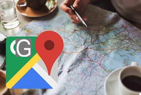


Google Maps it is now an indispensable travel companion. Are you planning a trip? Are you in a foreign city on vacation and need to find your hotel? It is undoubtedly the app that will take you out of trouble, wherever you are.
It is so powerful that it incorporates several functions that many may not have even heard of. We have cataloged 9 of these, many of which will come in handy.
1) How to measure distances manually
The navigation features of Google Maps are perfect for getting from point A to point B, but sometimes you don't need to plan an entire itinerary. In fact, sometimes you only need a rough estimate of how long it takes to go from one place to another. The tool exists, and it's called "Measure distance".
To use it, do this: tap anywhere on the map and a red marker will appear showing the name of the selected place. Touch the token and select the item Measure distance in the window that opens. You will see a dotted line with a crosshair at the end. By dragging the map, the distance between the crosshair and the original marker will be shown at the bottom of the screen. To add more points, tap the button + bottom right. Press the arrow at the top right to delete the newly added points. Unfortunately, the measured distance cannot be saved as a custom map at the moment.
2) Remember where you parked
Sometimes remembering where you are parked can be as frustrating as searching for a parking space. Google Maps makes it easy to solve this hassle.
Once parked, open the app and the blue dot will show your location. Tap it, and select the item Save as parking location. Now touch Parking location and (if necessary) add other information and also the time you have left (if the stall is paid).
3) Check if the train is on time
Google Maps is perfectly integrated with many public transport services of many countries. Tap a bus stop, or metro station icon and all the information about that location will appear. And that's not all: by tapping the route you will see all the stops on the line and real-time information on the current position of the train or bus.
4) Book a hotel room
Also on this occasion Google Maps can prove useful. Zoom the map and you will see the icons of all the hotels in the vicinity. Select one and then tap the name at the bottom of the screen for more information. Among the options there is Check availability, which allows you to enter dates and see prices corresponding to those given by the various hotel websites. By clicking on it you can make a reservation.
5) Get more information on anything
The screen Information available for each location is very good not only for transport and hotels. In addition to essential information such as phone number, address and accessibility information, there may also be menus (in the case of a restaurant), details about the next match (in the case of a stadium) and so on.
6) Use the offline navigator
The Google Maps navigator can work even without a connection: this function is ideal when you have to travel to non-European countries, where data roaming still has prohibitive costs. To navigate offline with Google Maps you must first download the map of the area of your journey by selecting the item from the menu Offline Maps> Select your map and framing the complete area of the trip. After downloading the map (we advise you to do it under a WiFi network!) You can navigate within the area even without a data connection!
7) Become a local guide
Much of the ancillary information that makes Google Maps so useful comes from its large community of users, in which Google allows you to participate by becoming a Local Guide. There are currently over 30 million worldwide, rewarded with points and prizes for their collaboration.
To become one Local Guide you must select Your contributions from the sidebar, then tap Start. You can contribute in different ways: by writing reviews, sharing photos, answering questions from other users. Each contribution earns a different number of points.
8) See the buildings in 3D
Different cities, national and otherwise, can be viewed in 3D with the desktop version of Google Maps. The same thing can be done with the mobile version: just point two fingers side by side horizontally on the map and drag the map upwards. In this way you will have an isometric view at 45 degrees, zoomable, which can be brought back to the "flat" version by dragging the map downwards with your fingers in the same position as before.
9) Calibrate the compass
Finally, if you notice that the app's accuracy is decreasing, you can reset it by calibrating the compass on your mobile.
Tap the blue dot on the map showing your current location, tap on the bottom left Calibrate compass. From the next screen follow the directions of the animation: you will have to turn and rotate the mobile phone three times in order to dial a sort of number 8. Once the operation is completed you will receive a confirmation and a message that will indicate the new level of accuracy of the compass.