Beyond Google Earth there is more


There is nothing comparable to a high resolution satellite image that can make us understand how fascinating planet Earth is. These images are also a formidable educational tool that allows you to explore the geographical changes that the planet has gone through over the years.
But where can they be found, and downloaded? Here are the three best alternatives:
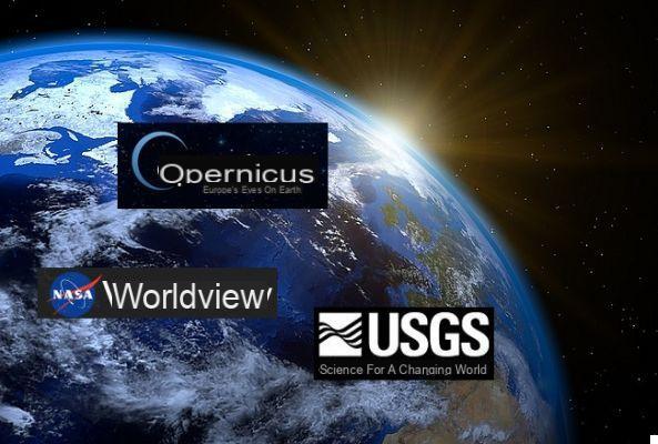
1) Earth Explorer
Earth Explorer is operated by the US Geological Service. The high-resolution maps and datasets are country specific, yet detailed and rich in information. The data is collected from sources such as the Landsat programme, in addition to NASA's "Land Data Products and Services".
You can use a combination of search options to explore the archives of theUSGS (United States Geological Survey) e scaricare i dataset.
| Fixed or Mobile? InformaticsKings has an offer for any need, click here! |
2) Copernicus
The European Commission, together with ESA (European Space Agency), has launched the largest global Earth observation program. The data from the Sentinel satellites are provided free of charge through an "open access hub", upon registration in order to download the images.
The high resolution images are offered to the public under a Creative Commons IGO license. The quality is better than that of the USGS.
3) NASA Worldview
Worldview is a powerful application that allows you to view satellite images in high resolution almost in real time. The functions on the site can be used to set a timeline and to download a map with the underlying datasets.
It is also possible to try the fascinating nocturnal layer called Earth at Night to explore how the Earth looks after dark with the lights on. Take a screenshot and download the image to your desktop.
Then, of course, there is also Google Earth (and Google Maps). Today you can load Google Earth in the browser (it is no longer necessary to download the software separately), but the services we have just described offer additional levels of information to explore (even if, in fact, with some difficulty of use compared to this that Google offers).